

Euganean Hills | Regional Road Map | 1: 25,000 | GLOBAL MAP
£10.00
Stock Status: In Stock
Description
Description
Detailed topographic map of the Colli Euganei (Euganean Hills) Regional Park south of Padua in the region of Veneto, northern Italy. The maps shows a wealth of information with roads, tracks and footpaths clearly marked together with churches, museums and other historic sites. Vineyards and woods are also marked and contours and spot heights given. The map also shows administrative boundaries and railways together with tourist information centres, park centres and youth hostels. Includes an index of places of cultural and tourist interest.
In Italian only (does not include information in English, German, French or Spanish).
| ISBN/EAN | 978 1 85879 6840 |
|---|---|
| Scale | 1: 25,000 |
| Format | Folded Map |
| Publisher | Global Map |
Reviews (0)
Related products
-
Lombardy (Lombardia) | Regional Road Map | 1: 250,000 | LAC
£9.00 Add to basket -
Etruscan Coast | Regional Road Map | 1: 110,000 | GLOBAL MAP
£10.00 Add to basket -
Abruzzo & Molise | Regional Road Map | 1: 250,000 | LAC
£9.00 Add to basket -
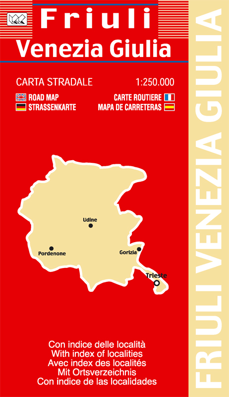
Friuli Venezia Giulia | Regional Road Map | 1: 250,000 | LAC
£9.00 Read more
Reviews
There are no reviews yet.