Turkey & West Turkey Wall Map | 1:1,544,000 | ROGER LASCELLES
From £11.00
Description
Description
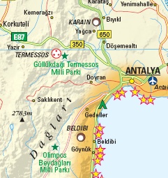
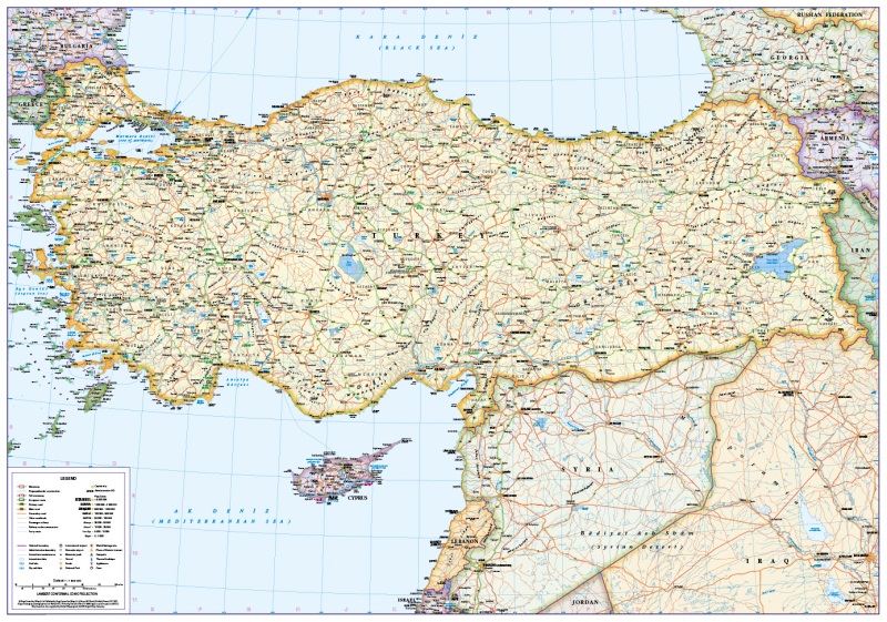
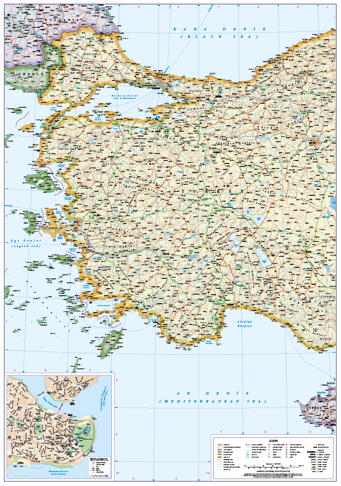
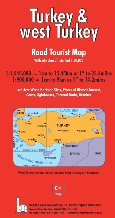
Large scale double sided wall map of Turkey. One side features Turkey and parts of Syria and Iraq shown at 1:1,544,000. The reverse features a detailed map of west Turkey shown at 1:900,000, extending as far east as Ankara (extract shown at actual size above). Both maps are clearly drawn with the road network well differentiated by colour and route numbers given. Railways, airports and ferry routes are also shown together with administrative areas, and towns and cities are graded according to their population.
The maps include detailed relief shading to indicate terrain and show World Heritage Sites and places of historic interest as well as caves, lighthouses, thermal baths and beaches. The map of Western Turkey includes greater detail and additionally shows national parks together with numerous tourist highlights and places of interest. The map also includes a city plan of Istanbul (approx. 1:30,000).
The wall map is produced on quality 130 g/m² matt paper. Available as a paper wall map or a durable encapsulated version bonded between two sheets of tough, flexible, crystal clear plastic, perfect for framing without the need for glass and allowing you, should you wish, to write on/wipe off with dry or wet pens.
| Map Type | Encapsulated wall map ISBN/EAN: 978 1 85879 7175, Paper wall map ISBN/EAN: 978 1 85879 7168 |
|---|---|
| Scale | 1:1,544,000 and 1:900,000 |
| Format | Wall map |
| Publisher | Roger Lascelles |


Reviews
There are no reviews yet.