Trento/Rovereto city map | 1:8,000/1:6,000 | GLOBAL MAP
£9.00
Stock Status: In Stock
Description
Description
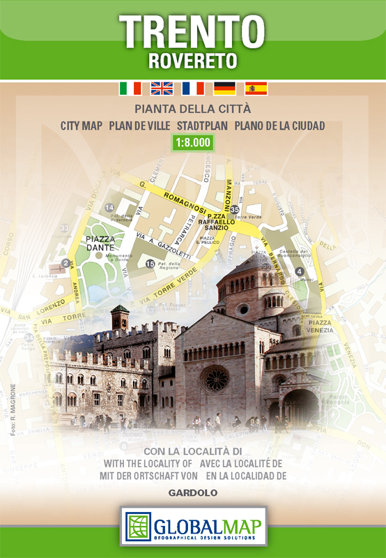
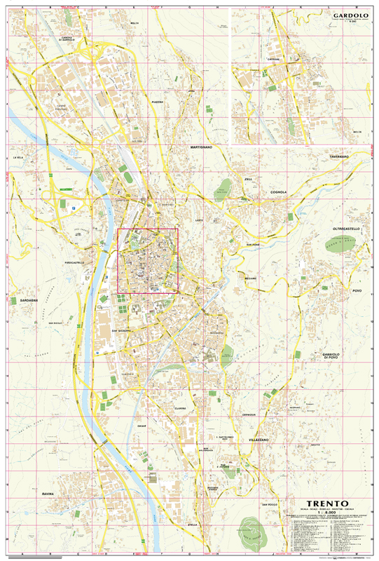
This map features a clearly drawn street plan of the city of Trento, in the north Italian region of Trentino-Alto Adige, on one side, shown at 1: 8,000 together with a map of neighbouring Rovereto on the reverse drawn at 1: 6,000.
Both maps are clearly drawn and show all the major places of interest (indexed) including public buildings, monuments, churches, cultural attractions, car parks, parks and railway lines. There is also a large-scale inset of Trento’s town centre, drawn at 1: 4,500 and an inset of Gardolo shown at 1: 8,000. The reverse features a comprehensive street index.
| ISBN/EAN | 978 1 85879 5836 |
|---|---|
| Scale | 1: 8,000 & 1: 6,000 |
| Format | Folded Map |
| Publisher | Global Map |
| Sheet size | 67cm x 99cm |

Reviews
There are no reviews yet.