Provence-Alpes-Cote d’Azur|Regional Map|1: 200,000|BLAY FOLDEX
£5.95
Stock Status: In Stock
Description
Description
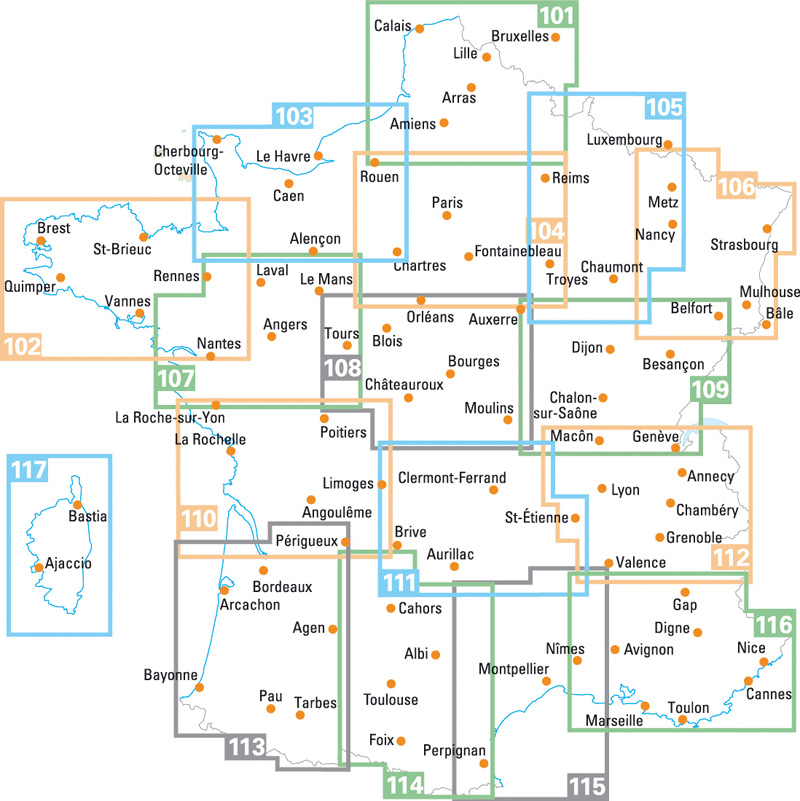
This detailed map of Provence and the Alpes Côte d’Azur region (116) is one of a series of maps by French publisher Blay Foldex covering the regions of France and is full of practical information for tourists and travellers. All the major attractions are clearly marked and scenic routes highlighted.
The map includes a place names index plus an indexed street plan of Marseille city centre shown at 1:10,000 showing the one-way system, car parks, pedestrianised roads and metro and tramway stations together with an inset enlargement of the old town. There is also an inset street plan of old Nice at 1:4,700 showing the one-way system, car parks and pedestrianised roads with street index.
Legend: French, English, German, Italian, Dutch
Towns covered : Aix-en-Provence, Antibes, Apt, Arles, Avignon, Cagnes-sur-Mer, Cannes, Carpentras, Digne-les-Bains, Fréjus, Gap, Grasse, Hyères, Marseille, Menton, Montélimar, Nice, Nîmes, Saint-Raphaël, Toulon
| ISBN/EAN | 978 1 85879 4488 |
|---|---|
| Scale | 1: 200,000 |
| Format | Folded Map |
| Publisher | Blay Foldex |


Reviews
There are no reviews yet.