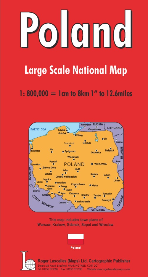
Poland National Road Map | 1: 800,000 | ROGER LASCELLES
£8.95
Stock Status: In Stock
Description
Description
Large scale double-sided map of Poland including parts of Germany, the CzechRepublic, Russia, Lithuania, Belo-Russia, Ukraine and Slovakia. The map is clearly drawn with the road network clearly marked and well differentiated by colour and with route numbers and intermediate driving distances given. The map also includes a number of secondary and minor roads, often missing on country maps. Country boundaries are clearly shown. Mountain ranges are also named and rivers marked together with national parks, airports and a wealth of places of interest.
The map includes inset street plans of Bucharest, Belgrade, Sofia and Skopje shown at 1:17,500 and features a street index and index to places of interest on the reverse.
Legend: Polish, Czech, Slovak, German, English, French, Dutch, Italian
| ISBN/EAN | 978 1 85879 1821 |
|---|---|
| Scale | 1: 800,000 |
| Format | Folded Map |
| Publisher | Roger Lascelles |

Reviews
There are no reviews yet.