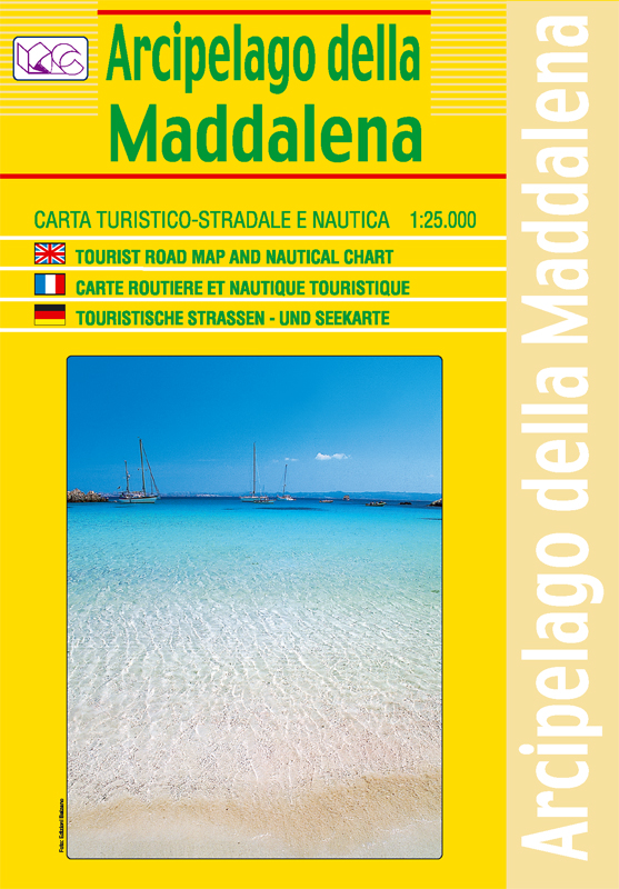
Maddalena Archipelago | Regional Road Map | 1: 25,000 | LAC
£10.00
Stock Status: In Stock
Description
Description
This detailed road and topographic map of the Maddalena Archipelago (Arcipelago della Madalena), the islands at the north eastern tip of Sardinia, shows a wealth of information including roads, differentiated according to size, with road numbers and distances given for major roads, scenic routes highlighted and tracks and trails also marked. Hill shading is included and contours and spot heights given. Nautical information including lighthouses, bathymetry, navigational limits and underwater cables are also marked.
The map also shows administrative boundaries, railways and ferry routes together with campsites, tourist areas and forested areas. Includes an inset of the town of La Maddalena shown at 1:6,500.
| ISBN/EAN | 978 1 85879 5577 |
|---|---|
| Scale | 1: 25,000 |
| Format | Folded Map |
| Publisher | Litografia Artistica Cartografica |


Reviews
There are no reviews yet.