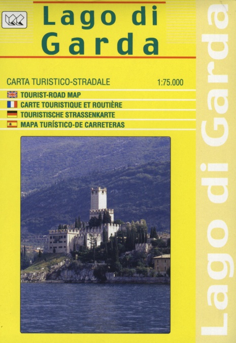
Lake Garda | Regional Road Map | 1: 75,000 | LAC
£10.00
Stock Status: In Stock
Description
Description
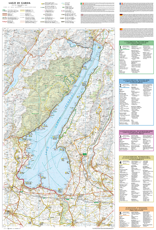
Detailed tourist road map of Lake Garda showing roads and tracks, clearly marked and differentiated according to size, with intermediate driving distances given. Hill shading and contours are included and spot heights marked. The map also shows administrative boundaries, railways and ferry routes together with a variety of tourist information including campsites, airports, historic buildings, places of interest and viewpoints. The map includes five driving itineraries around the region which are clearly marked on the map with highlights and distances given for each.
| ISBN/EAN | 978 1 85879 6628 |
|---|---|
| Scale | 1: 75,000 |
| Format | Folded Map |
| Publisher | Litografia Artistica Cartografica |


Reviews
There are no reviews yet.