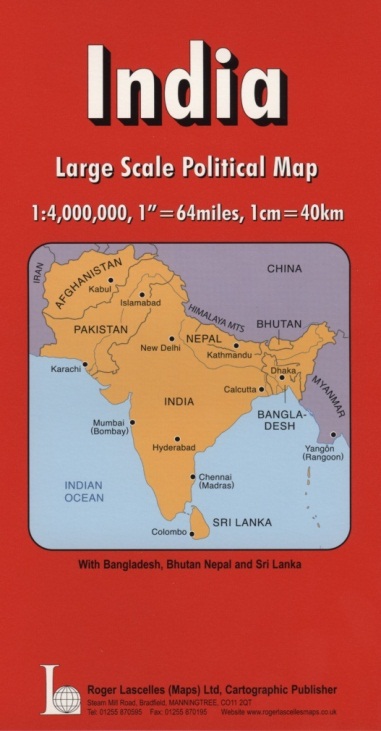
India | Political Map | 1: 4,000,000 | ROGER LASCELLES
£8.95
Stock Status: In Stock
Description
Description
Large scale map of the Indian Subcontinent, covering India, Pakistan, Afghanistan, Nepal, Bhutan, Bangladesh, Sri Lanka, Tibet and western Burma (Myanmar). The map includes altitude colouring and relief shading to indicate terrain and shows towns and cities graded according to their population. Country boundaries are clearly marked and regional boundaries and names are shown. Road and rail networks are also marked together with airports and major geographical features including rivers and mountain ranges. The map also includes an in inset political map of the Subcontinent shown at 1:15,000,000.
Legend: English, French, German
| ISBN/EAN | 978 1 85879 3795 |
|---|---|
| Scale | 1: 4,000,000 |
| Format | Folded Map |
| Publisher | Roger Lascelles |


Reviews
There are no reviews yet.