Europe | Political Map | 1: 6,635,000 | ROGER LASCELLES
£8.95
Stock Status: In Stock
Description
Description
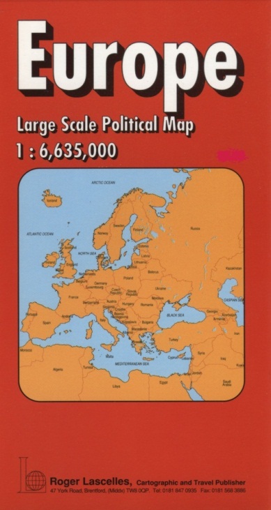
This detailed map covers the whole of Europe, with northern Europe including Iceland on one side, and southern Europe on the reverse. It includes a wealth of information including towns and cities, airports, ferry routes and the major road network, with road numbers and intermediate driving distances given. A selection of secondary roads are also shown. Country boundaries are clearly marked and national parks shown. The map includes a mileage chart and comes with a comprehensive place names index booklet. Legend: German, English, French
| ISBN/EAN | 978 1 85879 0336 |
|---|---|
| Scale | 1: 6,635,000 |
| Format | Folded Map |
| Publisher | Roger Lascelles |


Reviews
There are no reviews yet.